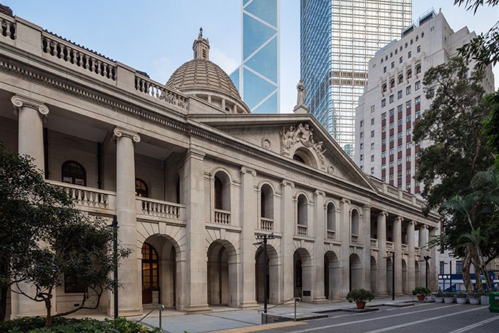
The History of Hong Kong
In 214 BC (Qin Dynasty), the Qin army launched a southern expedition to Baiyue and incorporated Hong Kong into the Qin territory. Since then, Hong Kong has been within the political framework of the Chinese main body. In 736 AD (Tang Dynasty), the Tang government established Tuen Mun Military Town (now in the western part of Hong Kong and Shenzhen), stationed by two thousand soldiers to protect maritime trade. In 971 AD (Song Dynasty), the Northern Song government established an official salt farm in the Kowloon Bay area and dispatched salt officials to guard it. In 1514 AD (Ming Dynasty), Portugal sent troops to capture Tuen Mun (Tuen Mun Island, Hong Kong). The Ming government declared war on Portugal in 1521 and won the battle, but allowed the Portuguese to anchor in the area of Macau’s Central Road. In 1810 AD, the British East India Company surveyed the topography of Hong Kong at the mouth of the the Pearl River. In 1842, the Opium War failed and the Sino British Treaty of Nanjing permanently ceded Hong Kong Island to Britain. In 1860, the Second Opium War failed, and the Treaty of Beijing between China and Britain permanently ceded the Kowloon Peninsula to Britain. In 1898, the Qing government signed the “Convention for the Extension of Hong Kong Territory” and other lease agreements with Britain, leasing the northern part of the Kowloon Peninsula, the New Territories, and over 200 neighboring islands for 99 years. On December 8, 1941, Japan launched a surprise attack on Pearl Harbor and attacked Hong Kong on the same day. The defense of Hong Kong began, and on December 25, Hong Kong fell. The period of three years and eight months of Japanese occupation in Hong Kong began. In 1945, Britain announced the restoration of sovereignty over Hong Kong, which was a time of internal strife between the Kuomintang and the Communist Party, leaving no time to consider the Hong Kong issue. In 1949, the People’s Republic of China was established, and the governments of China and Britain reached an informal agreement on the Hong Kong issue: Beijing had no intention of reclaiming sovereignty over Hong Kong, nor did it interfere with the activities of Nationalist government soldiers in Hong Kong, in exchange for British recognition of New China. In the 1970s, as the New Territories lease was approaching, China and Britain began negotiating the Hong Kong issue. In 1997, Hong Kong returned to the motherland and the People’s Liberation Army entered Hong Kong. Before Hong Kong was ceded, there were already over 7000 people living on Hong Kong Island During the Taiping Rebellion, the population of Hong Kong increased from 15000 to 70000 During the Cultural Revolution, a large number of mainland residents flooded into Hong Kong Hong Kong is a significant international financial, business services, and shipping center in the world. The Heritage Foundation has selected Hong Kong as the world’s most free economy for 24 consecutive years, and is renowned for its excellent public security, social integrity, simple tax system, and sound legal system. It is known as the “Pearl of the East”. In the 2018 GaWC global city list, Hong Kong ranked third only after London and New York.
The History of Hong Kong Read More »